Drone Survey
Drone Survey
The term RPA stand for Remotely Piloted Aircraft, and in the industry is taking over the old acronym of UAV (Unmanned Aerial Vehicle).
There has been rapid growth in the use of this technology over recent years, due to its versatility and low operational costs. These systems represent a valid alternative to the classical aerial survey when the areas are smaller than 4 km2.
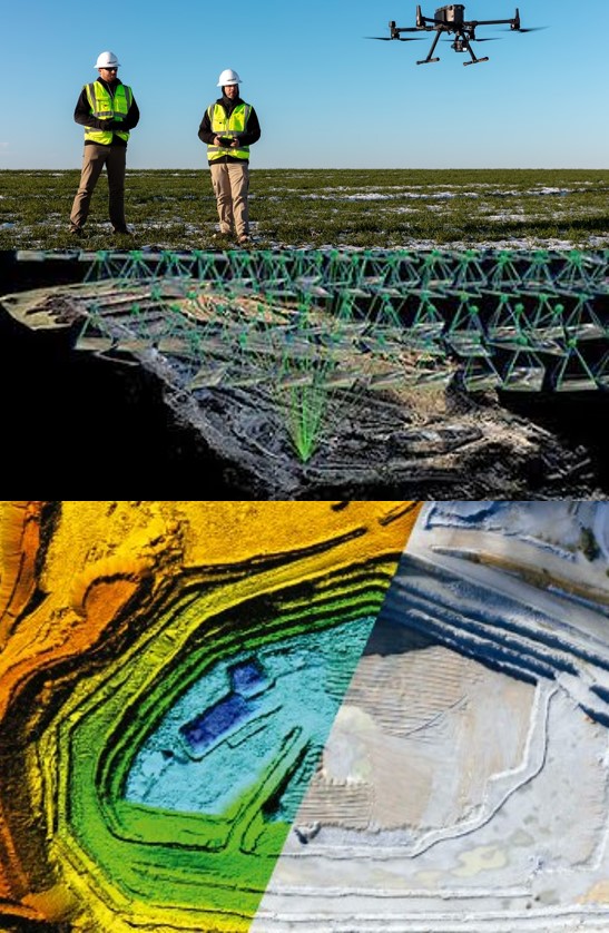
The data collected in the form of pictures, enables the generation of Digital Surface Models from dense point clouds. Hence the use of UAVs is a viable alternative for surveying mining stockpiles, monitoring earth works and calculate volumes and small open pits.
The images are taken with large overlaps allowing the calculation of 3D coordinates using triangulation principles. Combined together with Ground Control Points the entire data set is correctly georeferenced.
Products obtainable are highly detailed digital orthophotos and dense digital surfaces models. The latter allows contour generation and volume calculations. All this is achieved while minimising personnel access to the area.


